Pamir knot, Kashgar’s living bazaar, Baisha Lake mirage, and Taxkorgan Tajik hospitality — where India, Persia, and China traded stories long before high-speed rail.
Library cross-read
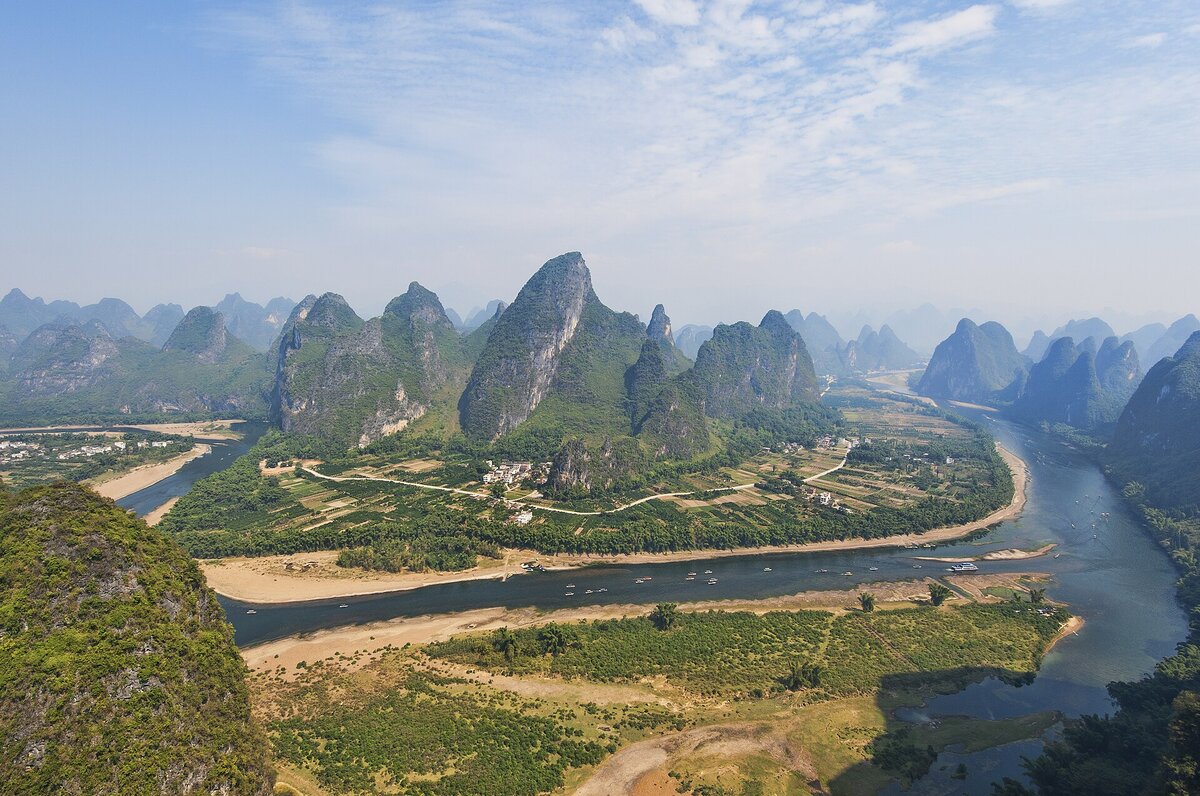
Pair with our Chinese Natural History primer for continent-scale framing before you commit mileage in Xinjiang.
Kashgar: the living soul of the Silk Road
For two millennia this oasis city cooled caravans between China, India, and the Mediterranean. Old Town still runs on nan ovens, copper hammer rhythm, and tea-house argument — less museum diorama than working bazaar.
Baisha Lake: blue-and-white illusion
Near 3,300 meters, wind-sculpted white sand banks meet still water so mirror-clean that ridgelines double into the sky. The look is glacial flour, aeolian sand, and high-basin light stacked together — a geology selfie before you reach the border passes.
Taxkorgan: eagles of the Pamirs
Tajik communities here carry Indo-European language threads rare elsewhere in China. Eagle dance, buzkashi horsepower, and wedding hospitality read as mountain etiquette: altitude first, performance second.
“In Taxkorgan the mountains are high, but the hearts of the people are even higher.”
Natural history of the grand junction
The Pamir “knot” stacks Himalaya, Karakoram, Kunlun, and Tian Shan syntax into one horizon. Muztagh Ata (~7,546 m) anchors glaciers that still feed Central Asian rivers — ongoing India–Eurasia convergence pushing rock into weather faster than trails can be rerouted.
FAQ
Border passes?
Taxkorgan county typically needs a frontier-area permit; arrange in Kashgar before driving the Karakoram Highway.
Altitude manners?
Plan nights near 3,100–3,300 m with slow days, hydration, and no sprinting up dunes.
Best window?
June–September for open high passes, greener pastures, and safer river crossings.
References
- UNESCO Silk Roads Programme: Kashgar hub documentation.
- Chinese Academy of Sciences geomorphology literature on the Pamir Plateau.
- Xinjiang University Press ethnographic surveys on Tajik communities in Taxkorgan.